Land surveying plays an integral role in land development. The process makes it easier for architects and engineers to understand unique landscapes better and build safe structures. Other than those, land surveying is done to chart coastlines, establish control points, prepare a topographic map of land surfaces, and determine boundaries.
According to diamondlandsurveying.com, “Property boundaries are determined by a combination of ground evidence with historical deeds and documents including other surveys in the area.” By determining a property boundary, builders can avoid overlaps and gaps with adjacent parcels of land.
To prevent miscalculation and ensure the proper execution of a project of any magnitude – residential, commercial, or industrial property – land surveyors apply science, mathematics, and geography. They measure the land, sky, and even ocean bed. However, they can only ensure accurate measurement by using high-technology equipment.
1. Digital Theodolites
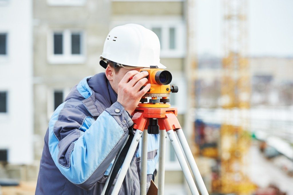
Theodolites consist of a rotating telescope that is mounted on a base. They have an electronic display screen that shows horizontal and vertical angles of a surface. Nowadays, digital theodolites are more commonly used than non-digital ones, as the former provide more accurate readings and convenience.
With its adjustable parts, the device finds the angles of a parcel of land. When the telescope is pointed at an object or surface, the instrument provides digital readouts for the horizontal and vertical axes. With a digital theodolite, land surveyors do not need to manually read the scales on graduated circles, removing the risk of human errors.
2. 3D Laser Scanners
Land surveyors use 3D laser scanners to gather property data on as-is conditions and measure distances. The instrument can evaluate land properties and create a digital image of a structure with its topographical features. The data gathered by 3D laser scanners can then be used to create 3D models of a property. With this, land surveyors can show their clients possible property issues and propose solutions for them.
Additionally, mapping out a property with 3D laser scanners saves a significant amount of time, as opposed to manual scanning. Engineers and architects can use the time saved to analyze data.

3. Surveying Drones
Automation is being heavily applied in the geospatial industry, as seen in the popularity of unmanned aerial vehicles (UAV) or drones in land surveying applications. With low data acquisition costs, drones can map out and gather real-time information of real estate. Drones generate property images from above and identify asset boundaries.
Surveying drones save time as they let surveyors rapidly map out just about any surface. This is especially helpful when surveying remote and rural areas, reducing risks to surveyors who map out unknown areas.
4. Subsurface Locators
These instruments locate rebar, ductile iron pipe, manhole lids, and valve boxes within a property. There are also types of subsurface locators that are able to pinpoint electrical cable, water pipes, and sewing lines. The locators work by detecting signals transmitted by many utility lines. Surveyors use different methods of subsurface locating for different applications.
Knowing the locations of these utility lines will help construction firms ensure the safety of the crew prior to excavation.
These are only a few of the many time-saving instruments land surveyors uses to gather accurate property information, not only for homes but also for other infrastructure. Land surveying allows builders to construct a safe structure. For this reason, they should use available technologies, so they don’t miss even just one control point.


